Useful Info:
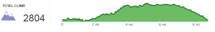
Length: 8.70 miles
Elevation Gain: 2804 ft
Difficulty: 5/10
Terrain notes: dirt trail, paved road
Cost – Free
Open – Year round
Date Hiked: – March 2014
Useful Links:
Sierra Azul Map
Driving version of Bald Mnt
News update about the cube!
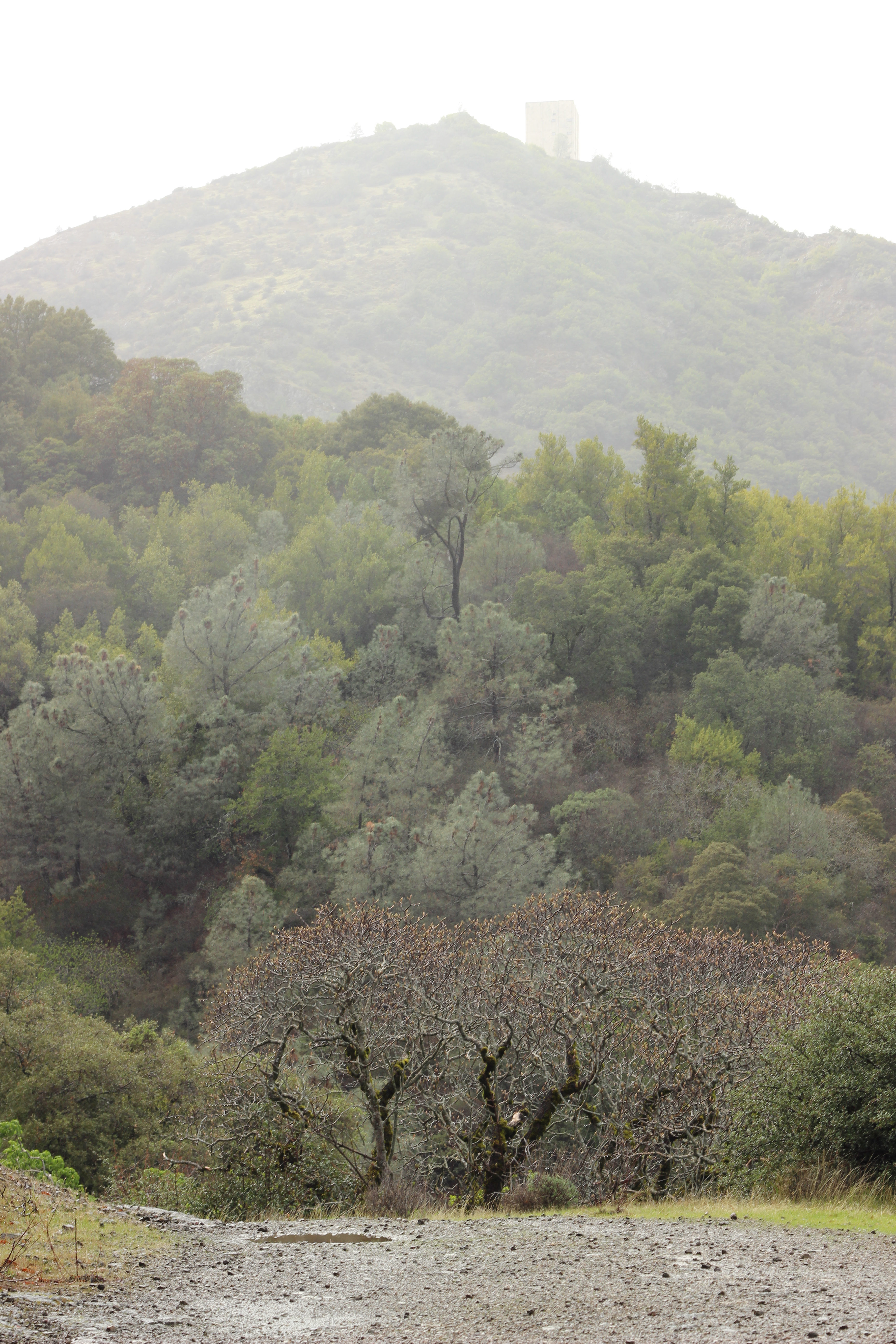 Halloween got me thinking if I have been on any spooooky hikes. I really haven’t :(, but the closest was probably climbing Bald Mountain on a foggy rainy day as an excuse to get near the cube.
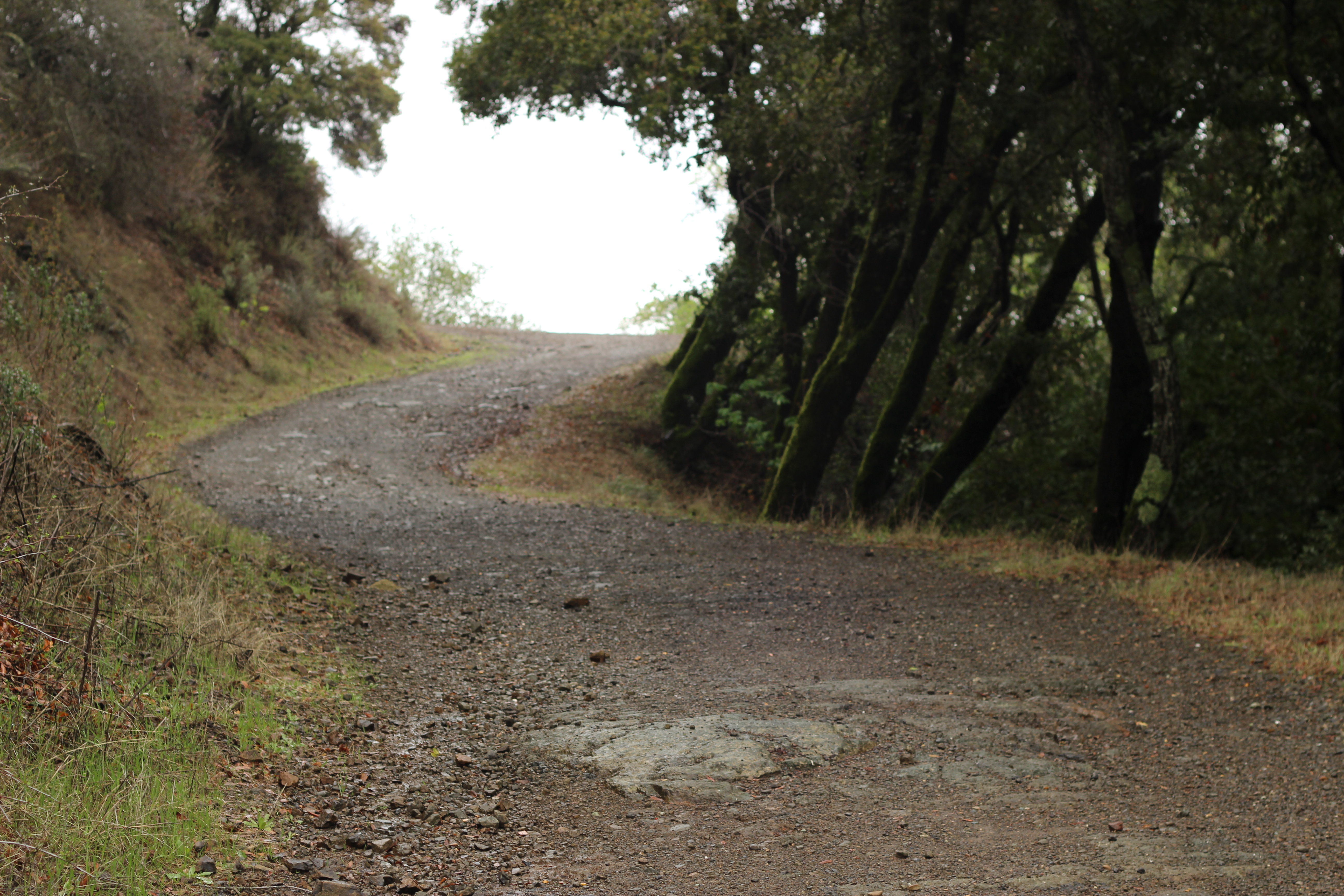
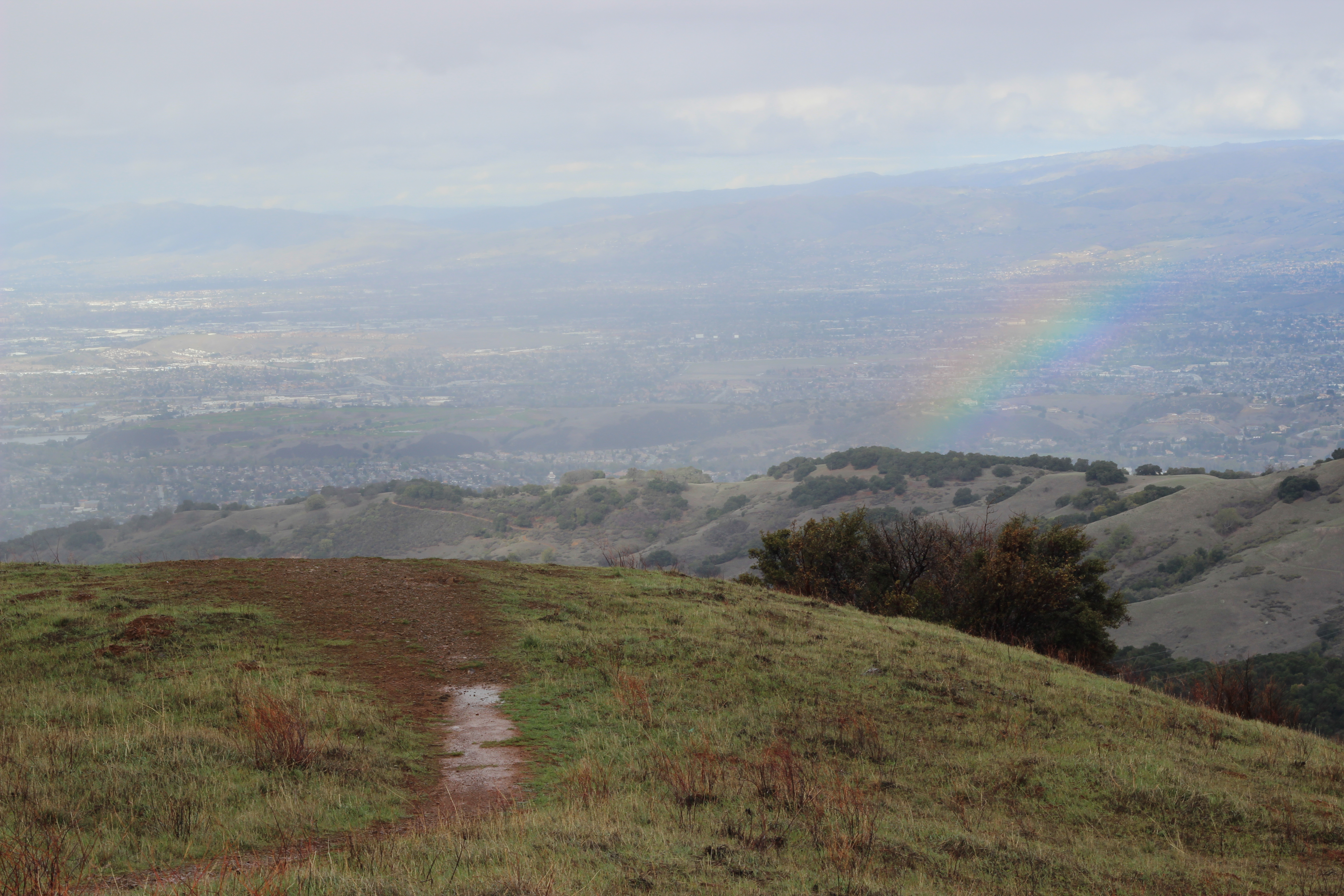
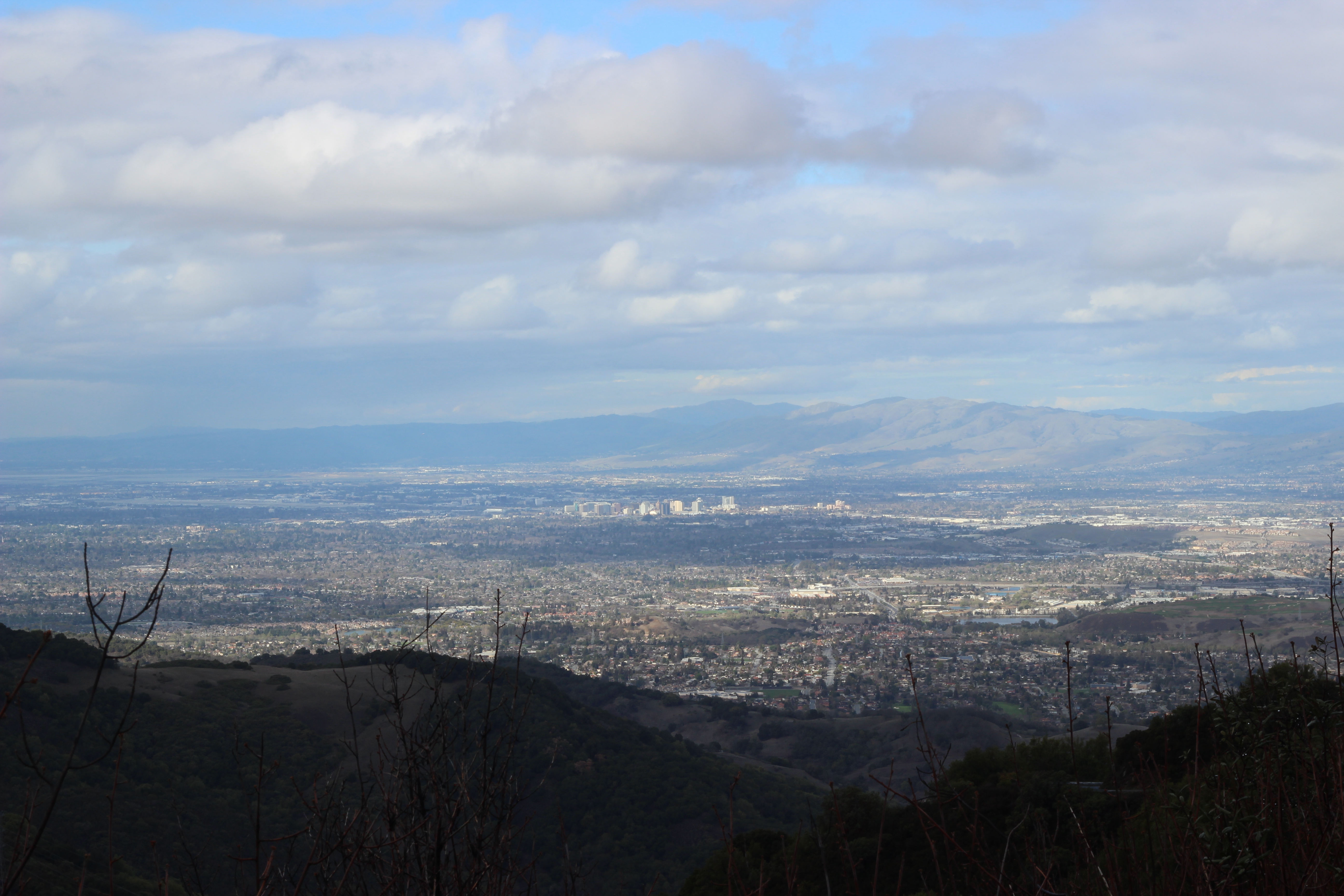
From south San Jose in general and particularly Almaden Quicksilver, many panoramas of neighboring green peaks are marred by a large windowless rectangle of concrete. It’s completely at odds with the surrounding rolling hills, and it’s ugly. I wanted nothing to do with it, but Paul was interested in what it was doing up there on the tallest peak: Mt Umunhum. We met a friendly British biker while overlooking one of the panoramas and he told us that the cube was a retired radar tower from the Cold War era. Cool history. So we began to look up more info on what the hike to it would be, and things got weird…
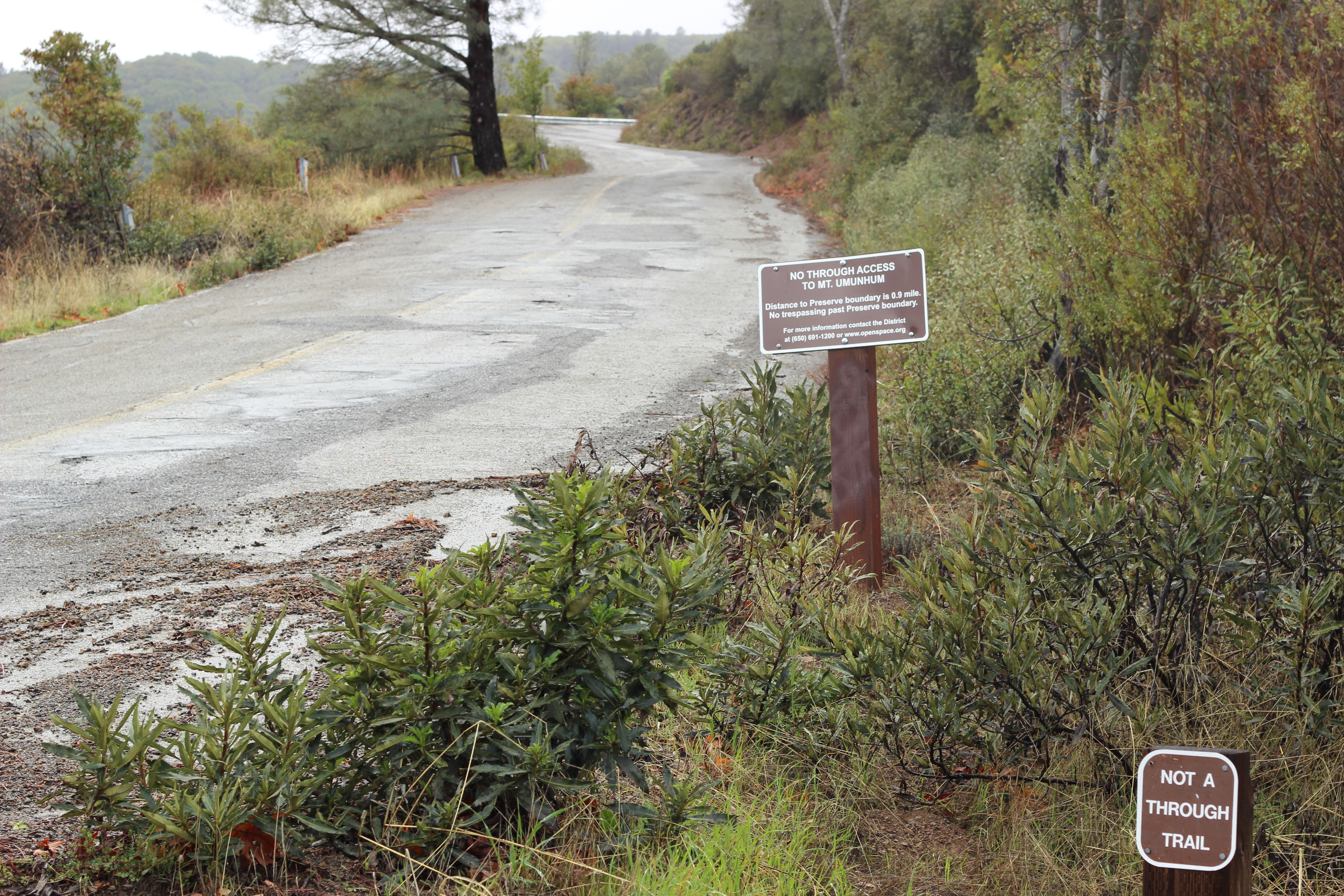
The building sits, shrouded in conspiracy theories, with only a couple unmaintained roads leading up to it. Try to reach it and you could, allegedly, be fined by the park service, shot by secret soldiers, or attacked by isolationist albinos! Let’s start with the facts. The cube, as part of a military complex, is still strictly off limits. There are no-trespassing signs and security cameras on the approach via road. By all accounts these are functional, and you will be tracked down and ticketed by a ranger if you disregard them. Now begin the theories. Some people believe that the base must still be secretly operational to have such tight security. Who cares so much about vandals? So maybe you’re the curious type, and you were already going hiking, why not avoid the security and approach through the woods? Evidently, the neighbors…
Despite its proximity to the bustling valley, few people live up near Sierra Azul Open Space Preserve and apparently those who do will come after you with guns (there was some evidence for this). Rumor even has it these gun wielding individuals include an aggressive colony of albino people. Things were getting pretty unbelievable at this point, but we couldn’t do all this reading and then not leave the house which is how we ended up climbing nearby Bald Mountain.
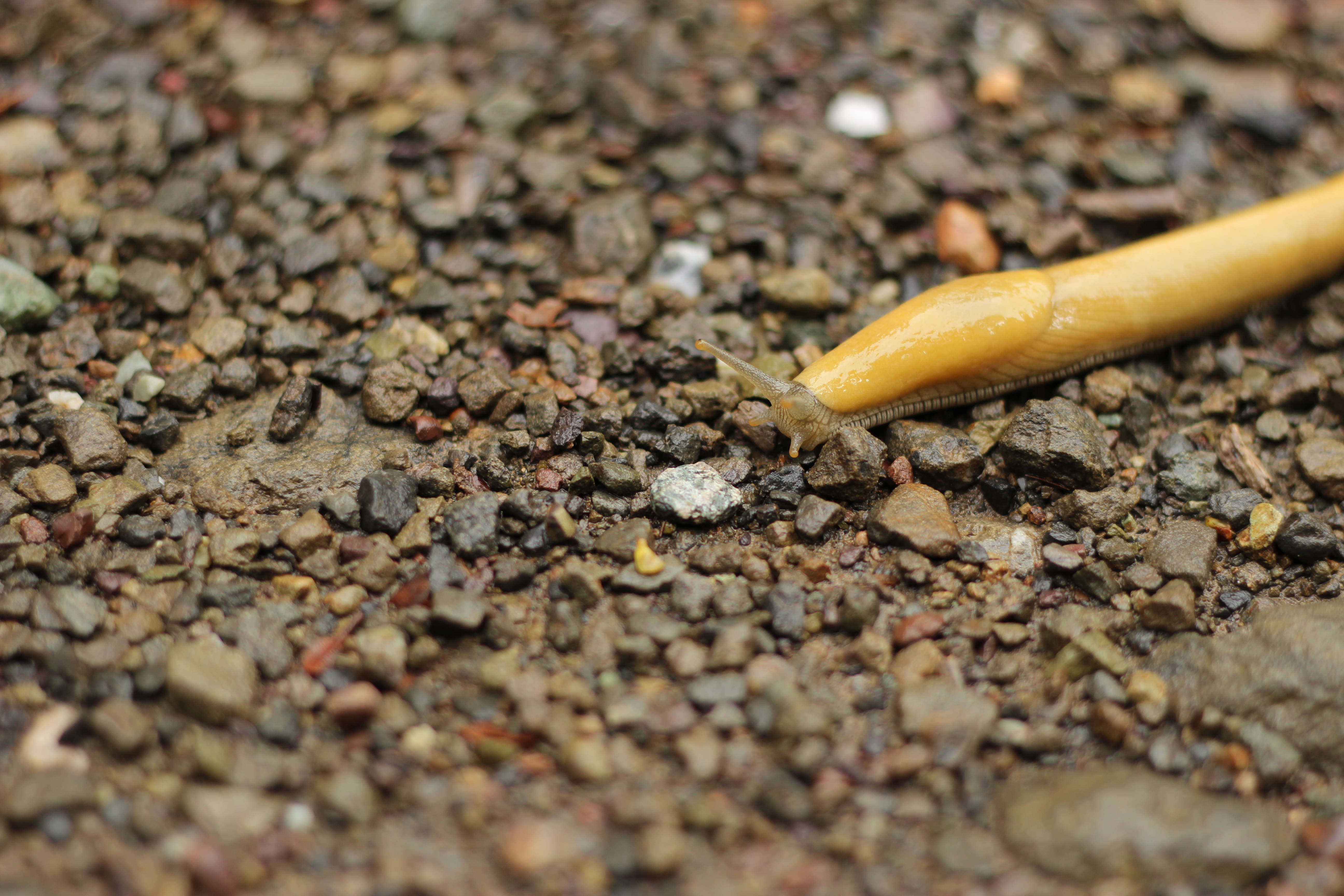
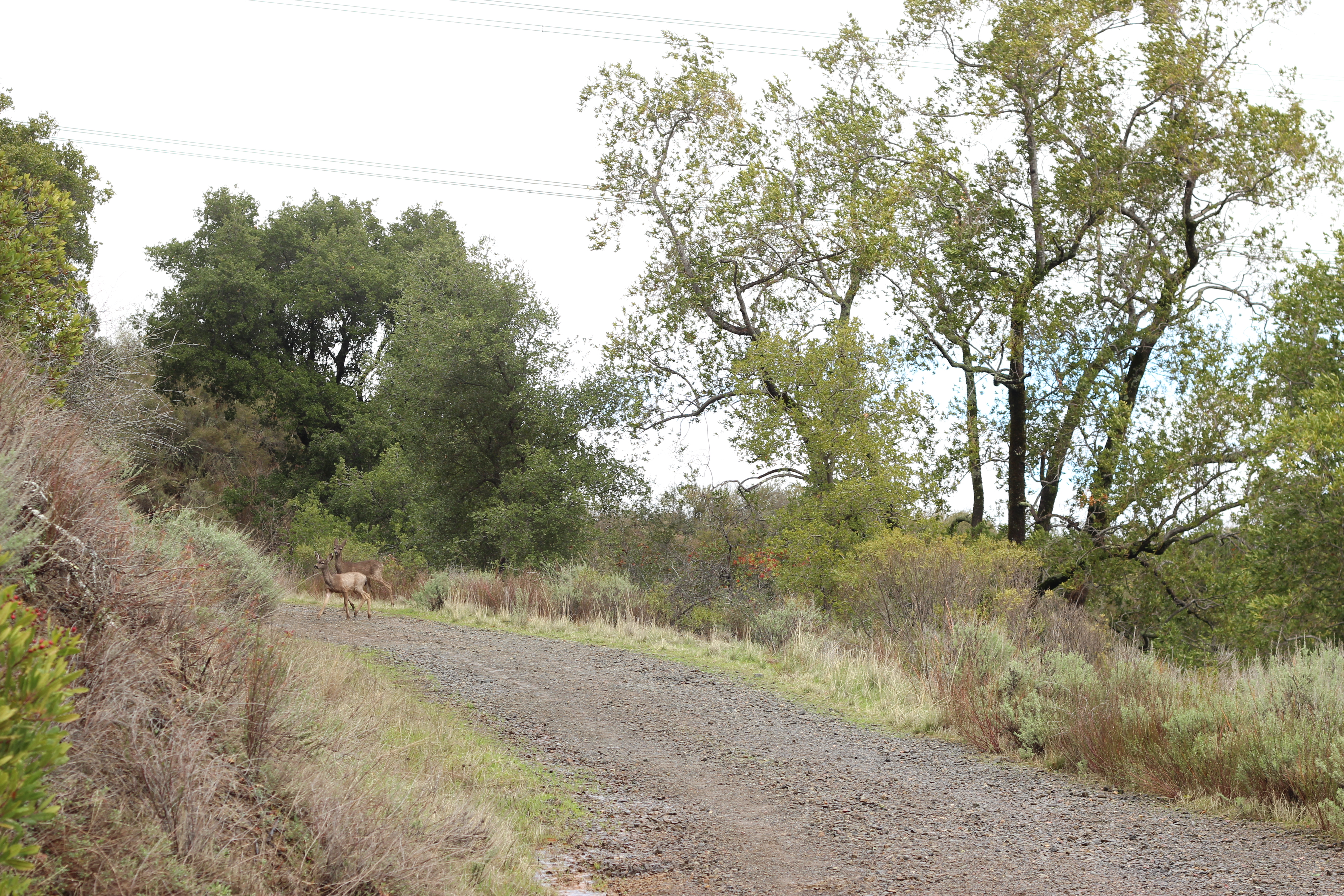
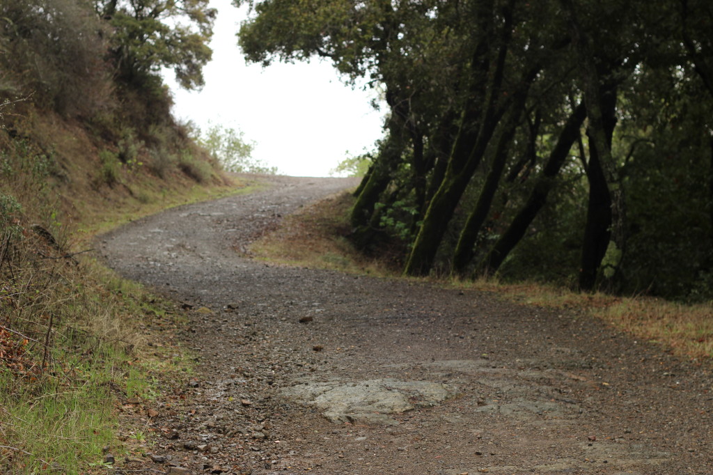
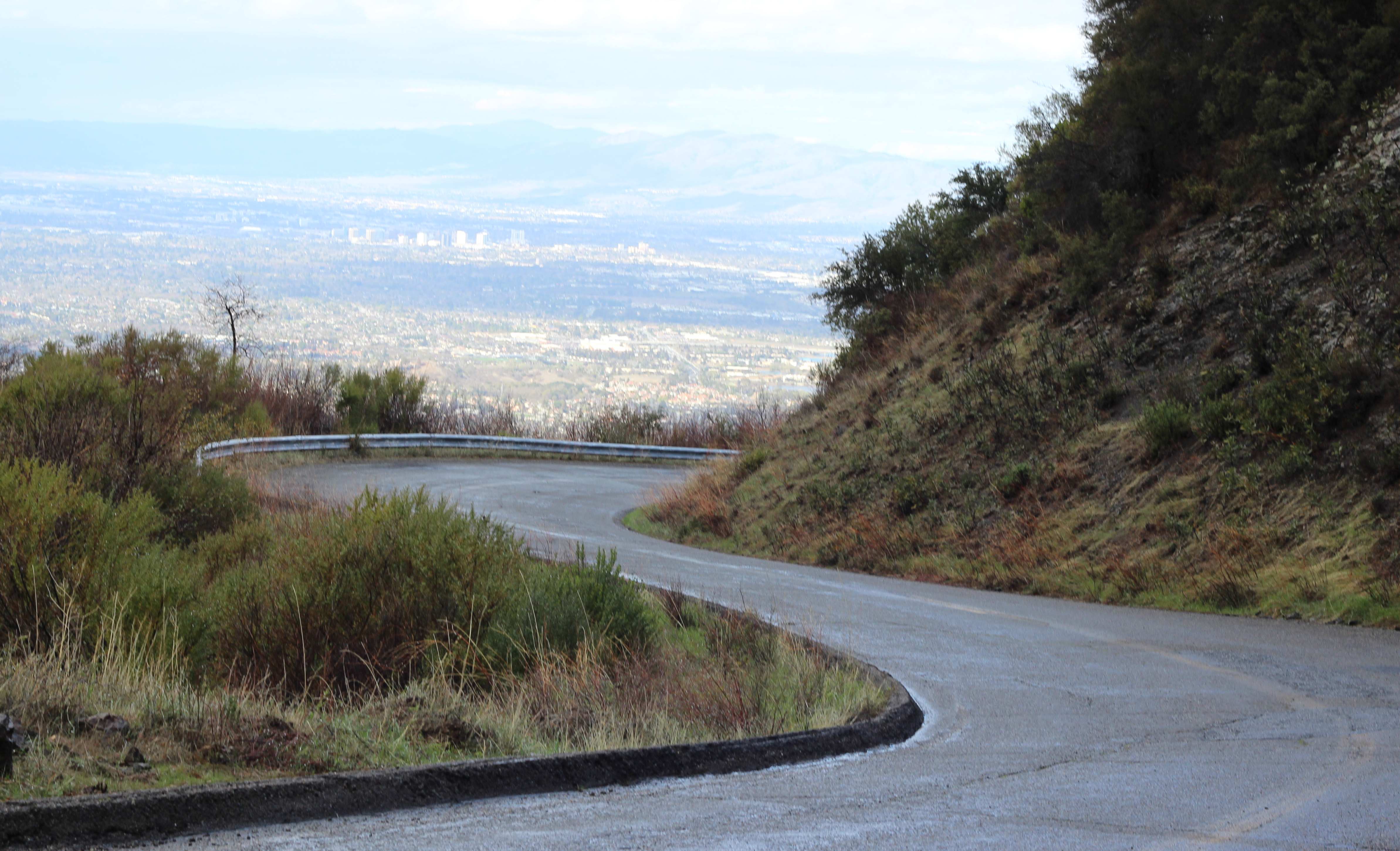
Bald Mountain can be reached by trail or by road, so while it was by no means crowded, don’t expect solitude at the end of the hike. You can, however, expect nice and expansive views. Our route was to come up the trail and return down via the road. The trail is nothing special. It is nice and wide with several types of vegetation, but also lots of evidence of civilization from power lines to sawed down trees. When the trail reconnects with the road, the pavement continues up to the cube and your ticket. Instead, head down the road a short ways and take the dirt path out onto the dome of Bald Mountain to take in the views.
The road is the shorter and steeper option back but we were being rained on so we took it. This was hard on the feet and knees, but turned out to be good research. Off of the road are several driveway entrances. No houses are visible but the gates were adorned with more no-trespassing notices, and even bullet-riddled hubcaps cut sharply to look like big saw blades. Turns out these folks really do want their privacy for some reason or another…
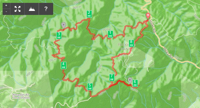
The trails we took were:
Woods Trail > Barlow Rd > Mt Umunhum Rd > Bald Mountain Trail > Mt Umunhum Rd
See pg 2 of the Sierra Azul Open Space map linked in the lefthand panel.
Here are my details from Runkeeper: