
Useful Info:
Length: 6.90 miles (as an out-and-back)
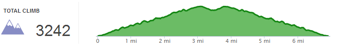
Elevation Gain: 3242 ft
Difficulty: 6/10
Terrain notes: dirt trail, single file, downed trees
Cost – Free
Open – Year round
Useful Links:
Redwood Hikes trail info
Hiking in Big Sur trail info
Map for the loop
 Ready for a workout, legs?? This trail has plenty of classic Big Sur elements, and unrelenting elevation gain that will definitely lead to some leg burn. The trailhead is located on the opposite side of Hwy 1 at the same unlabeled gate as the starting point for the short Partington Cove hike. There are likely to be other cars parked already marking the spot but the best bet is to count the miles from a nearby campground (9 miles south of Pfeiffer State Park).
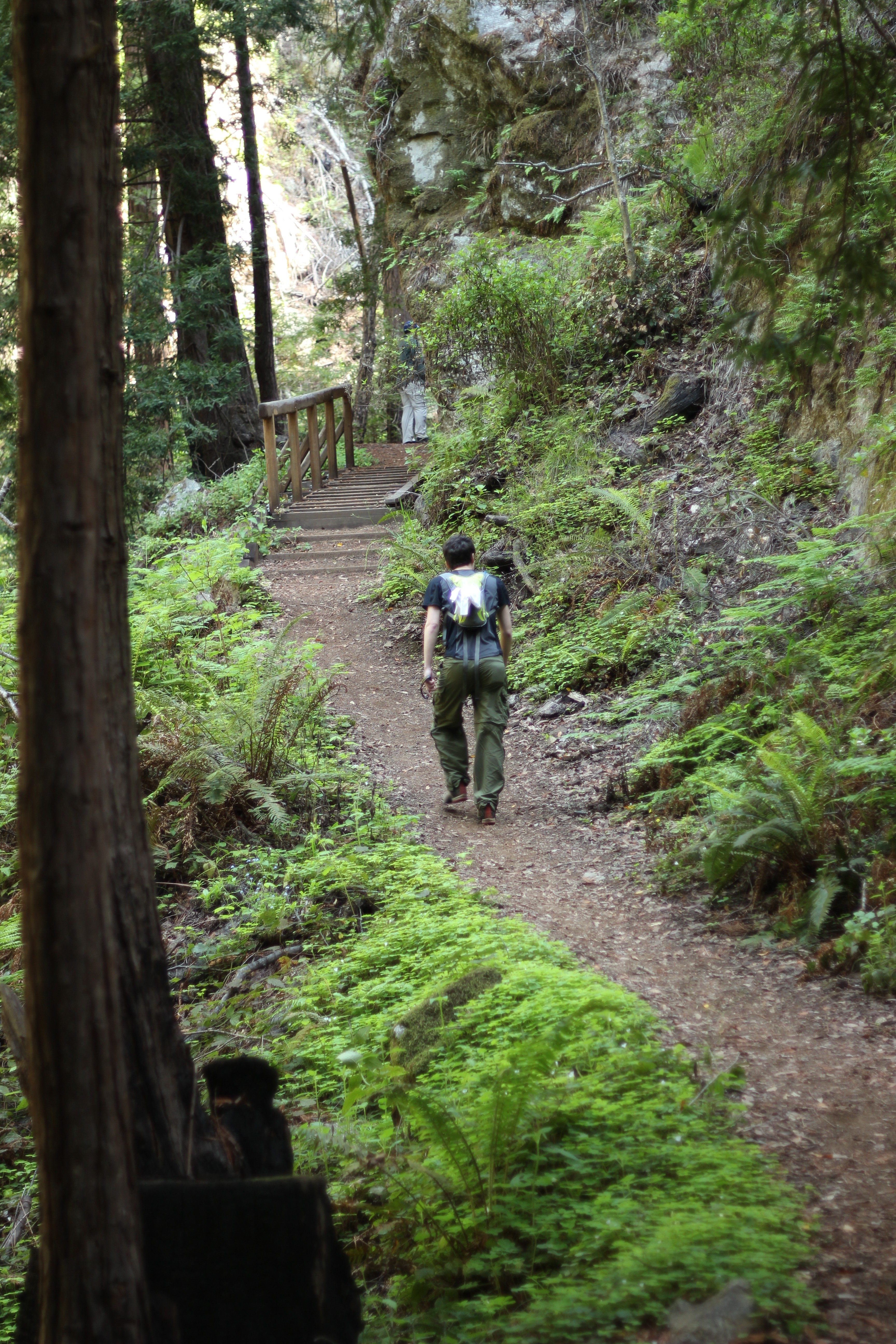
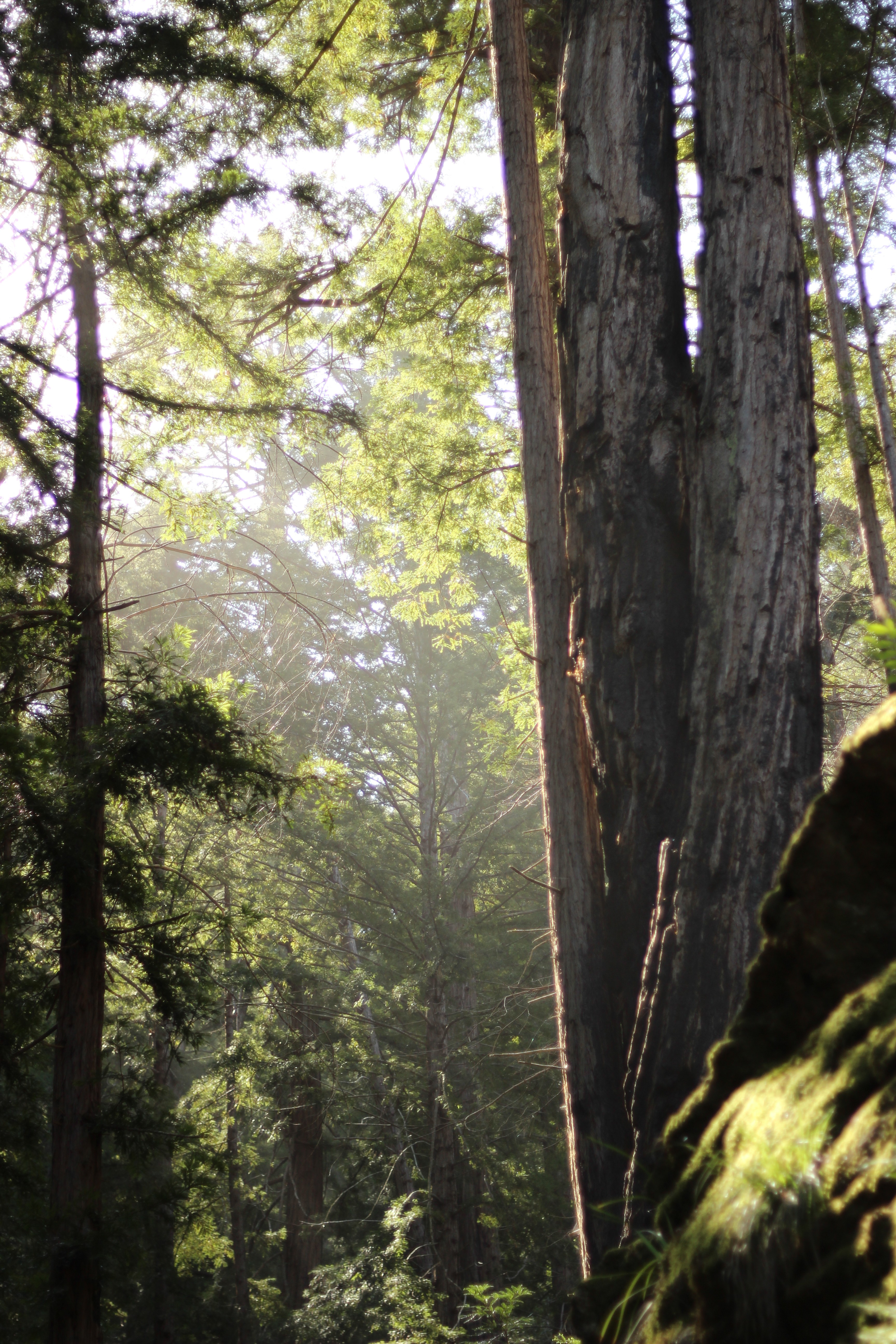 The trail begins next to a pleasant stream. Hikers climb uphill single file in the forest’s shade while the adjacent stream flows down. In spring, the forest floor is carpeted in redwood sorrel and the the dirt is soft underfoot. The climb is tiring but with views of thin redwoods and ferns along the way, it is easy to be distracted from the switchbacks. The trail kept me engaged, however, with several downed trees and branches to scramble under or over, and plenty of poison oak patches. I’m shocked no one in our group fell victim to its shiny leaves.
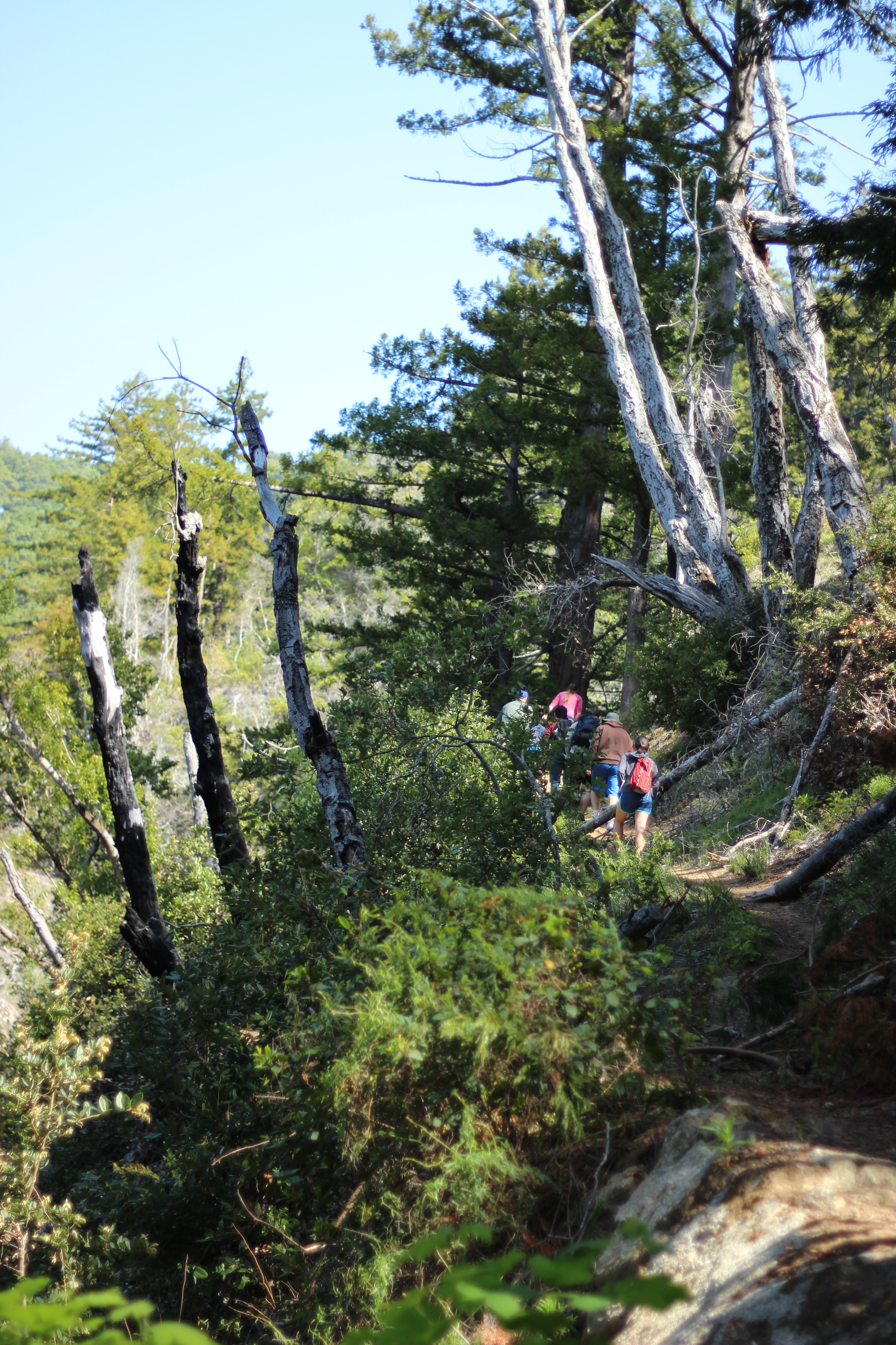
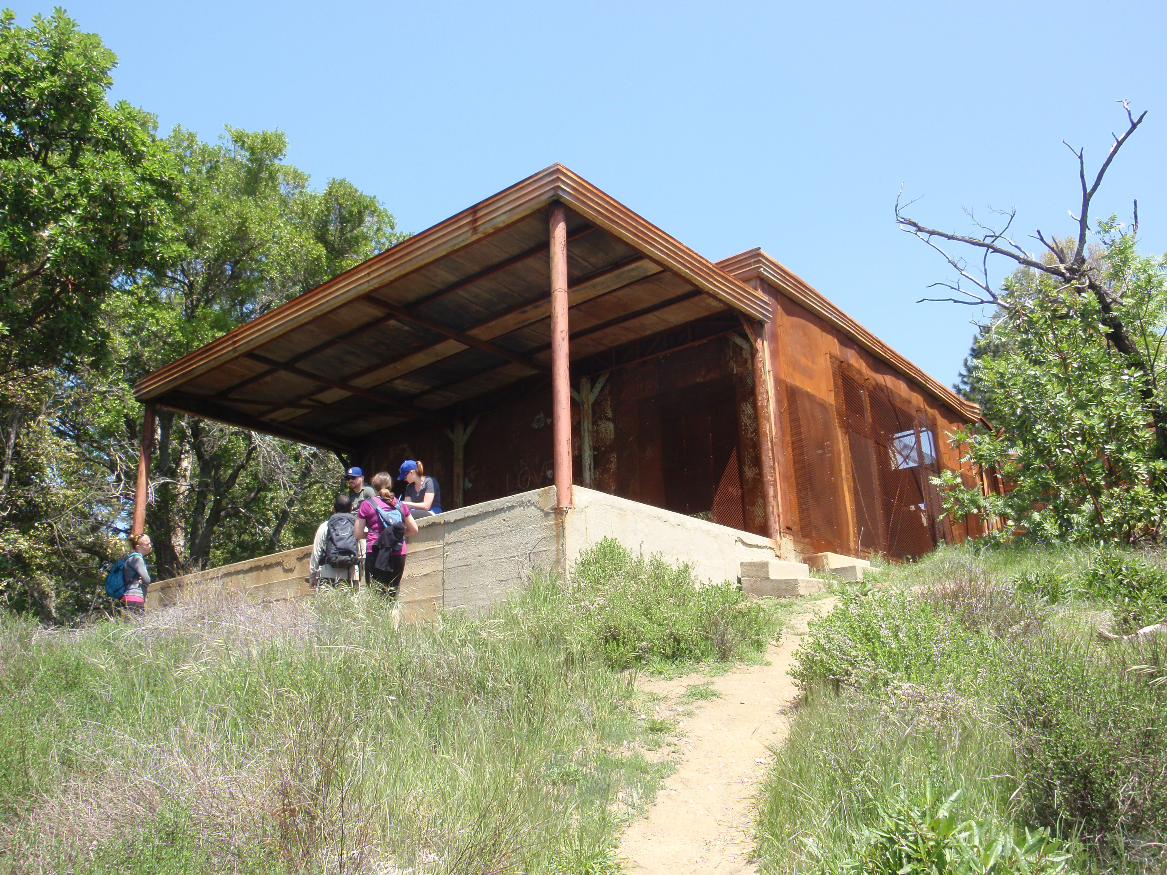
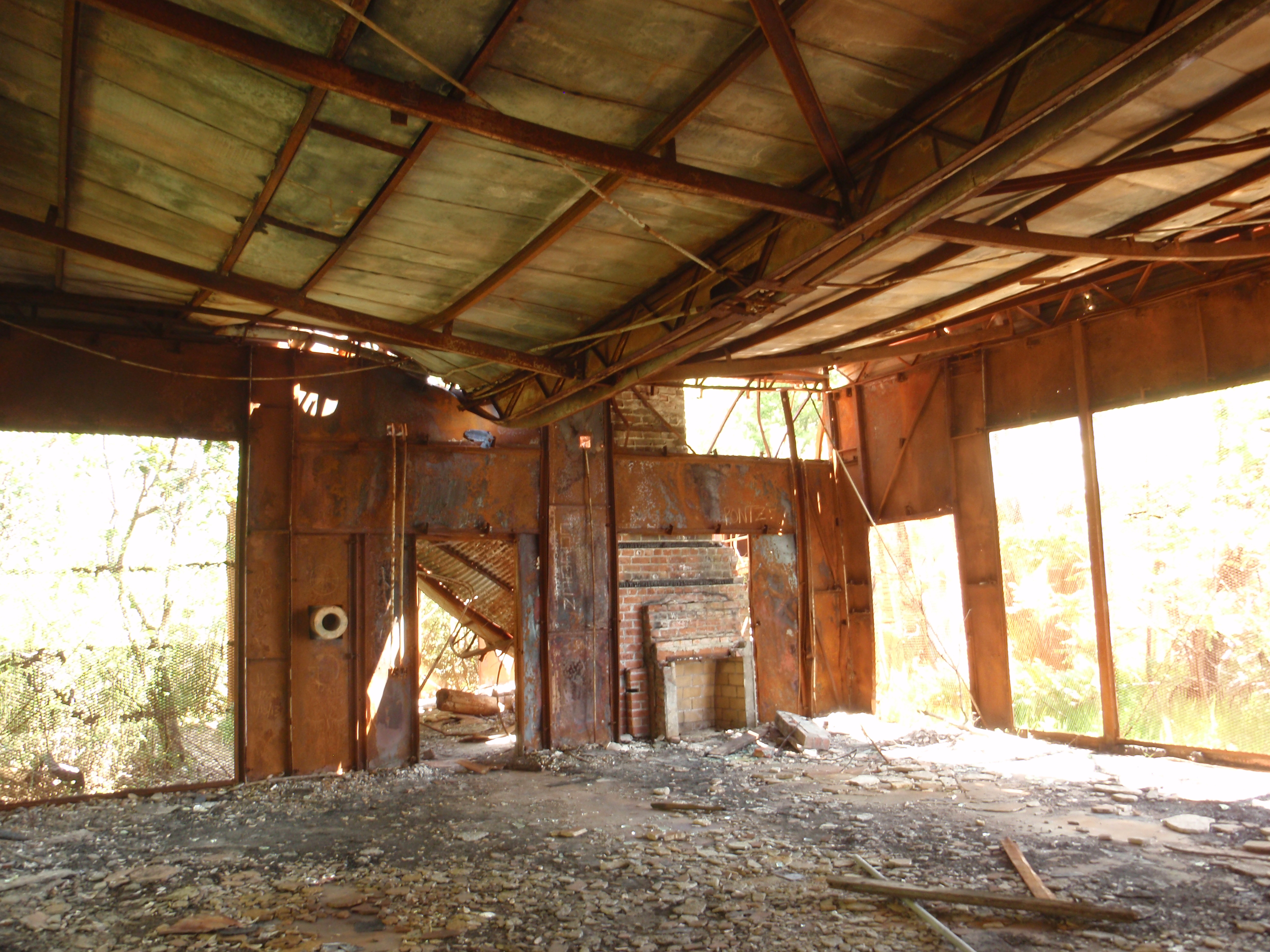
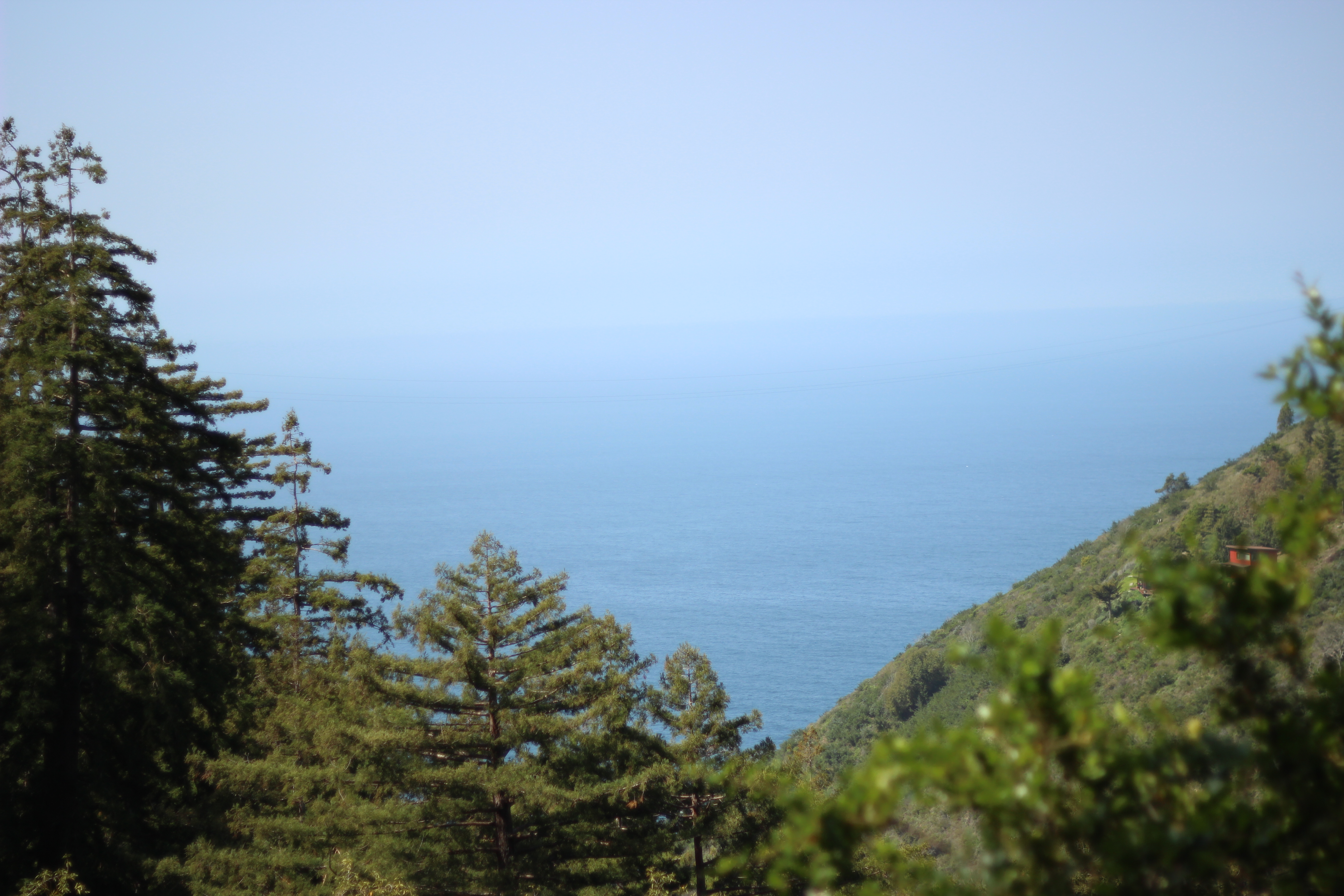 Still rising, the trail emerges from the woods. More sun reaches the trail. New vegetation and glimpses of the ocean and surrounding hills can be seen. Small colorful wildflowers can be seen along the trail, and, in April, caterpillars were devouring their favorite plants. When there is finally a fork in the trail, the path to the Tin House actually descends a little on a wider road. The abandoned Tin House is situated on the exposed grassy hillside which provides sweeping ocean views. A short excursion to the side (marked by a white sign) provide a lovely coastal view.
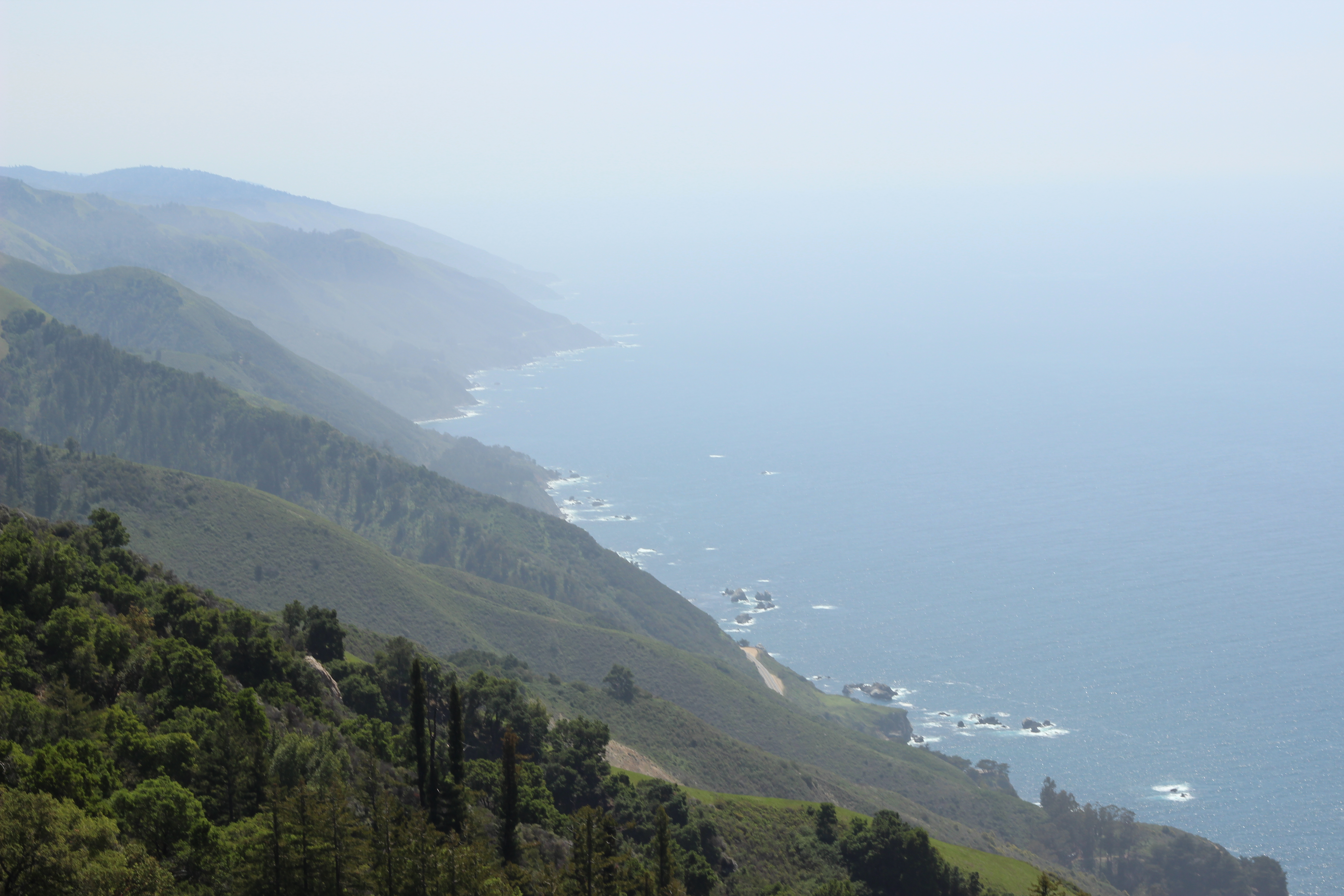
 After taking in the views, there are two common descents. Return on the same trail, or descend steeply on a wide fire road to Hwy 1. Either way, even the downhill aspect of this hike is quite vertical. The fire road is sunny and steep, but the most unfortunate aspect of this option is that it reaches the road a mile south of the trailhead. The fire road ends at a nice vista point with parking, but walking a mile on the outside of the guard rail is a somewhat risky proposition. One that I was not excited about. Since I did this hike in a larger group, the majority of people head down the fire road and took in the views at the bottom while a few of us backtracked down Tanbark trail and drove the cars to meet them. Shuttling cars would also be possible with a little advanced planning. Overall, this hike is a good challenge with a little taste of many Big Sur elements.
Here are my details from Runkeeper:

Pingback:Big Sur: Points of Interest – Switchback to Wild